Photo courtesy of the City of Seattle and Tim Rice Aerials
Visit Waterfront Park
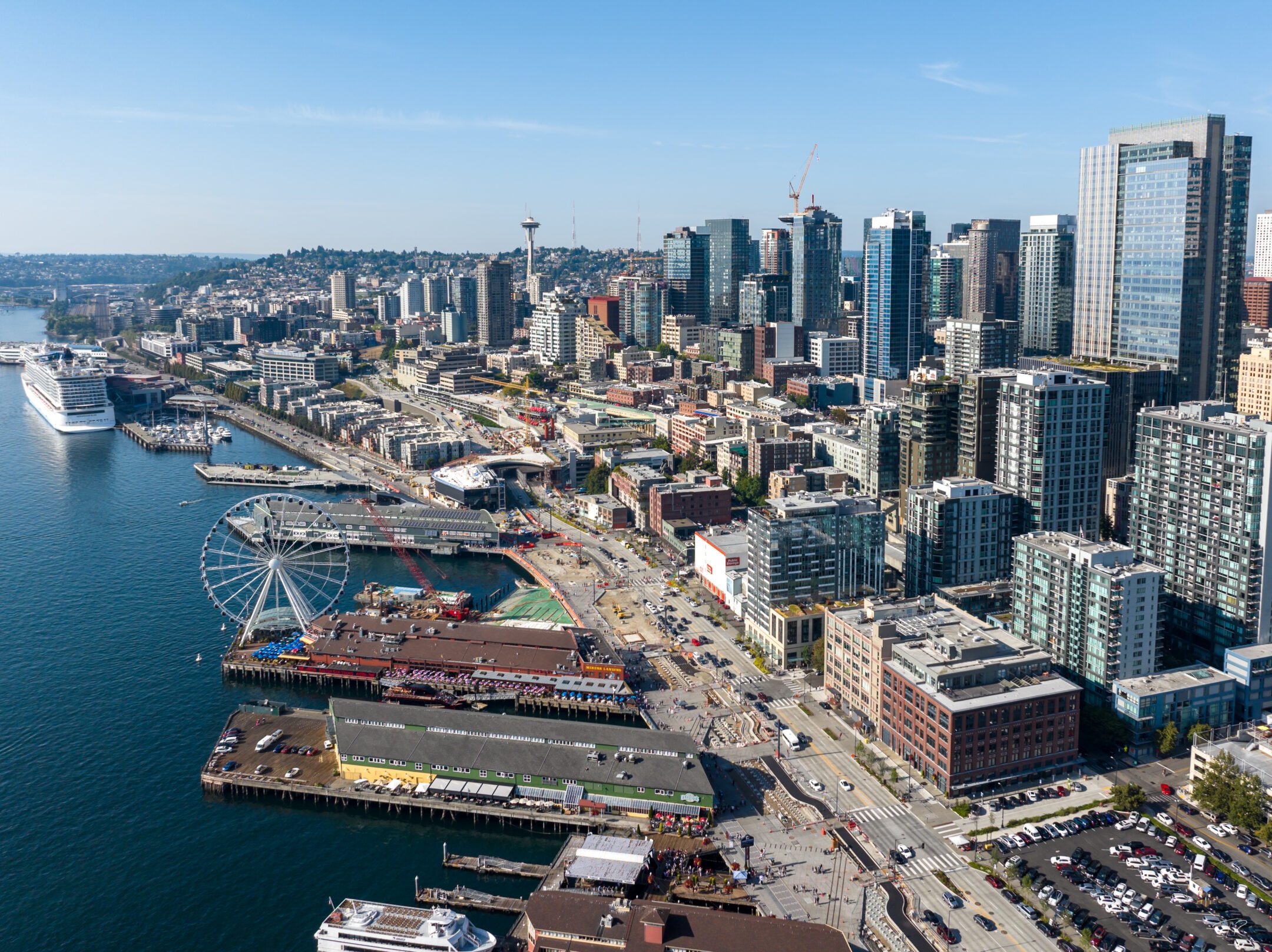
Located in the heart of downtown Seattle, Waterfront Park is close to major transit lines, ferries, and other popular destinations and landmarks. Whether you’re walking, rolling, busing, or driving, there are plenty of ways to make your way to Waterfront Park.
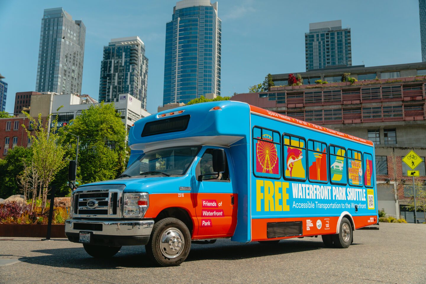
Waterfront Shuttle. Photo by Jo Cosme.
FREE Waterfront Park Shuttle
The free downtown Waterfront Shuttle, offering free and accessible transportation for visitors to the downtown waterfront and Waterfront Park, runs from May through mid-September.
Supported by the Friends of Waterfront Park, Seattle Historic Waterfront Association, the Alliance for Pioneer Square and funded by King County, the Waterfront Shuttle stops at key locations including the Seattle Center/Space Needle, Pier 69, Pier 62, Pier 56, Pioneer Square, and King Street Station in the Chinatown International District.
Note: The Free Waterfront Shuttle has wrapped up for the 2025 season
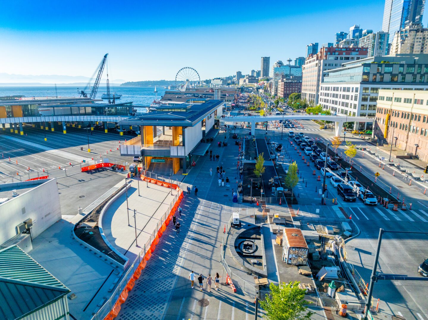
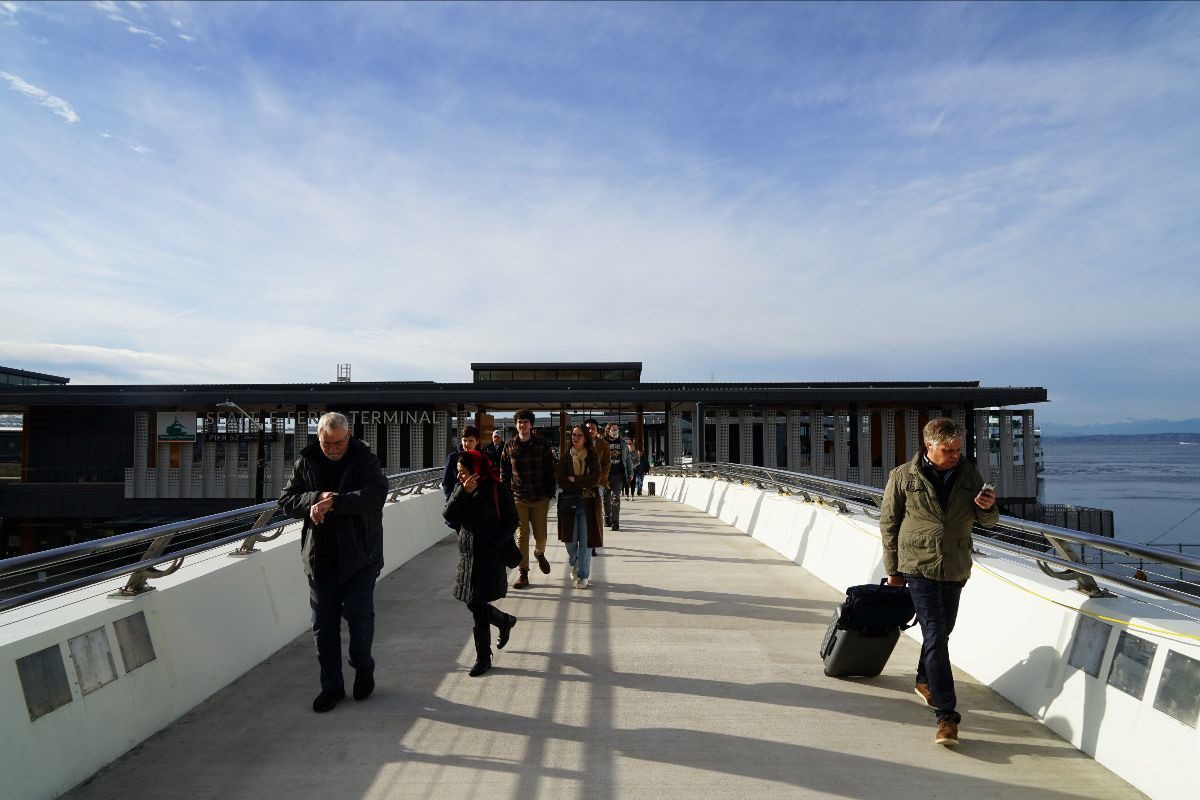
Photo courtesy of the City of Seattle
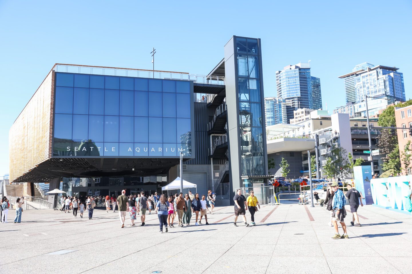
Seattle Aquarium's Ocean Pavilion on the Waterfront Promenade
Public Transportation
Here are some of the ways you can take public transit to get to Waterfront Park. Click on the expandable menus below for accessibility information and other helpful links.
Note: These are recommended routes will get you as close as possible. See the “Roll and Stroll” section below for more information about how to access the park from Downtown Seattle.
Travel Across the Puget Sound
-
Visitors coming from Bainbridge Island or Bremerton can ride the ferry and disembark at Colman Dock.
Elevators are available.
-
Visitors coming from West Seattle and Vashon Island can take a 15-minute Water Taxi ride and disembark at Pier 50, right next to Pioneer Square Habitat Beach and the Washington Street Boat Landing.
The Water Taxi’s docks, passenger waiting areas and boats are accessible for passengers with disabilities and/or mobility devices.
Travel by Bus and Train
-
- 2 – Seneca St. to Madrona Park
- Disembark at 3rd Ave and Pike St. (Northbound)
- 10 – Capitol Hill to Downtown Seattle
- Disembark at Pike St. and 4th Ave (Eastbound)
- 49 – Capitol Hill to Chinatown-International District
- Disembark at Pine St. and 4th Ave (Westbound)
King County Metro buses are accessible for passengers with disabilities and/or mobility devices.
- 2 – Seneca St. to Madrona Park
-
- E Line – Aurora Village Transit Station to Yesler Way
- Disembark at 3rd Ave and Pike St.
- 116-512-Link – Alderwood Mall to Downtown Seattle
- Alderwood Mall to Ash Way Park and Ride
- Ash Way Park and Ride to Northgate Light Rail Station
- Disembark at University St Station
King County Metro buses are accessible for passengers with disabilities and/or mobility devices. Elevators and escalators can be found at Link Light Rail Stations.
- E Line – Aurora Village Transit Station to Yesler Way
-
- C Line – West Seattle to South Lake Union
- Overlook Walk/ Pier 62: Disembark at 3rd Ave and Pike St (Northbound)
- Pioneer Square Habitat Beach/ Washington Street Boat Landing: Disembark at Washington State Ferry Terminal
- 36 – Beacon Hill to Downtown Seattle
- Disembark at 3rd Ave and Pike St (Northbound)
- 620-594 – Olympia, Tacoma to Seattle
- Capitol Way at Legion Way to Lakewood Station Bay 5
- Lakewood Station Bay 3 to Downtown Seattle
- Disembark at 4th Ave and Seneca St.
- C Line – West Seattle to South Lake Union
-
- 7 – Rainier Beach to Downtown Seattle
- Disembark at 3rd Ave and Pike St. (Northbound)
- 7 – Rainier Beach to Downtown Seattle
-
- C Line – West Seattle to South Lake Union
- Disembark at 3rd Ave and Pike St (Northbound)
- 775-Water Taxi – Alki to Seattle
- Take the 775 to the Seacrest Marina
- Take the Water Taxi and disembark at Pier 50 (southbound)
- C Line – West Seattle to South Lake Union
-
- King County Metro’s Access Transportation Program
- “For anyone whose disability prevents them from riding traditional buses and trains, Metro’s Access Transportation program operates a network of accessible vans. Access helps customers ride from their starting location to many local destinations within the King County Metro service area.”
- ORCA LIFT
- “Get the most out of transit with reduced fares and ORCA LIFT! This card offers a convenient, more affordable way to get around Puget Sound.”
- King County Metro’s Access Transportation Program
Roll and Stroll
-
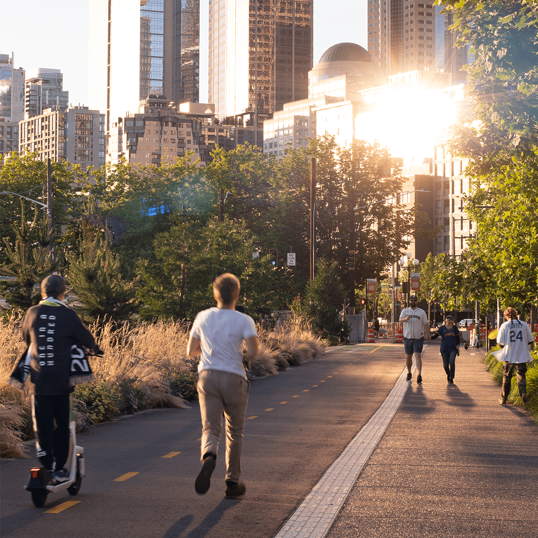
Travel along all 20-acres of Waterfront Park on foot or with your favorite set of wheels! New bike lanes and pedestrian pathways make getting around a whole lot better. Check out the rows below to find out about different ways to access the waterfront.
-
- From Olympic Sculpture Park
- Head southwest on Broad St toward Elliott Ave
- Take a slight left onto Alaskan Way
- From Lenora Street Pedestrian Bridge
- Located on the corner of Elliott Way (Dzidzilalich) and Lenora St
- This pedestrian bridge is equipped with an elevator
- From Olympic Sculpture Park
-
- From Pike Place Market
- Use the Overlook Walk stairs, wheelchair and stroller accessible ramps or take the elevator located on the east side of the Ocean Pavilion rooftop down to the Waterfront Promenade.
- Via the Union Street Pedestrian Bridge: Head south on Post Alley, past the Gum Wall, and turn right onto the Pedestrian Bridge. Elevator access is available.
- From Harbor Steps (University Street)
- The Harbor Steps are easily accessible from the Benaroya Hall/University St. Light Rail station.
- Head west on University St, past the Seattle Art Museum
- Take the stairs down or the elevator down to Western Ave
- Continue westward and you will arrive at the waterfront.
- From Pike Place Market
-
Thanks to their proximity to the waterfront, there are multiple ways to access the park from these entrance points.
- Marion Street Ferry Walkway/Colman Dock (on the waterfront; elevator available)
- Pier 50 (on the waterfront)
- Pioneer Square
- Stadium District
-
Accessibility Information
Elevators can be found at the following locations:
- Overlook Walk
- Lenora Street Pedestrian Bridge
- Pike Place Market Garage
- Union Street Pedestrian Bridge
- Harbor Steps
- Colman Dock
Drive
-
- Take the Madison Street/Convention Place exit.
- Stay straight to go onto 7th Ave.
- Take the first left onto Madison Street.
- Turn right onto Alaskan Way.
-
- Take exit 165A toward James Street.
- From right lane, merge onto 6th Avenue.
- Turn right on Columbia Street.
- Turn right on 1st Avenue.
- Turn left on Madison Street.
- Turn right onto Alaskan Way.
-
The waterfront offers several options for parking for those driving to the park:
- Pike Place Market Garages – Daily rates and central waterfront access. Learn more.
- Bell Street Harbor / Port of Seattle Parking – Convenient garage near Pier 66 (north of Waterfront Park). Learn more.
- Downtown Seattle Garages – Find available parking across downtown, including along Waterfront Park, using the DSA Parking Garage Map.
Street parking is also available in the area but may be limited during peak times. Street parking is free on Sundays and federal holidays.
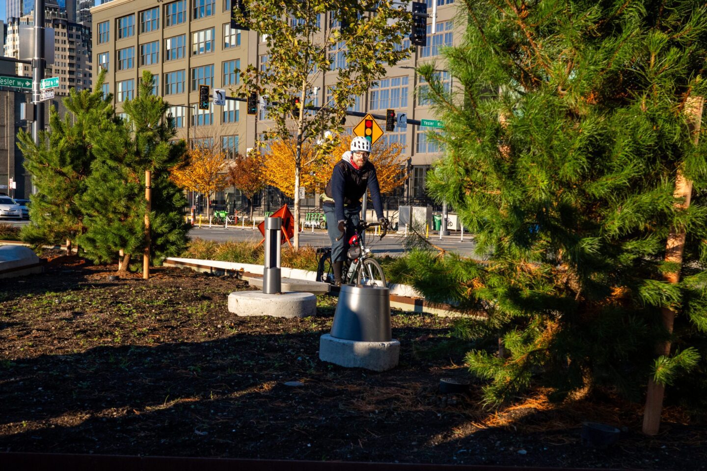
New bike lanes are activating along Waterfront Park. Photo by Jason Merges.